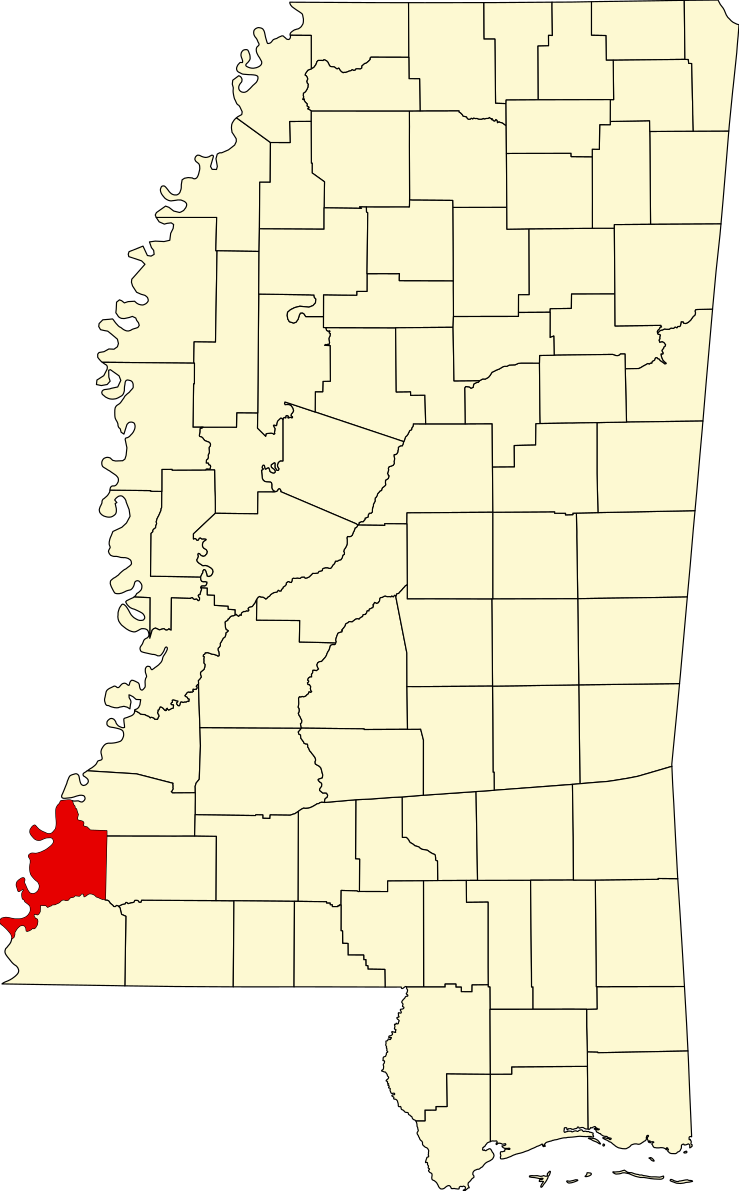
File:Map of Mississippi highlighting Adams County.svg
Jump to navigation
Jump to search

Size of this PNG preview of this SVG file: 372 × 600 pixels. Other resolutions: 149 × 240 pixels | 298 × 480 pixels | 476 × 768 pixels | 635 × 1,024 pixels | 1,271 × 2,048 pixels | 739 × 1,191 pixels.
Original file (SVG file, nominally 739 × 1,191 pixels, file size: 49 KB)
File history
Click on a date/time to view the file as it appeared at that time.
| Date/Time | Thumbnail | Dimensions | User | Comment | |
|---|---|---|---|---|---|
| current | 00:56, 25 June 2024 | | 739 × 1,191 (49 KB) | commons>Nux | fix rendering (remove clipping) |
File usage
There are no pages that use this file.