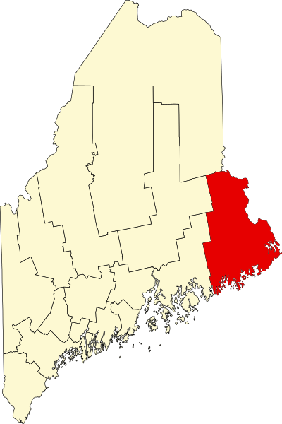
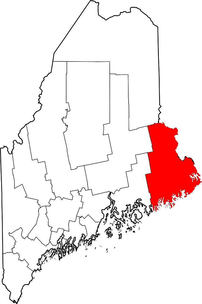
File:Map of Maine highlighting Washington County.svg
Jump to navigation
Jump to search

Size of this PNG preview of this SVG file: 400 × 600 pixels. Other resolutions: 160 × 240 pixels | 320 × 480 pixels | 512 × 768 pixels | 683 × 1,024 pixels | 1,366 × 2,048 pixels | 3,252 × 4,876 pixels.
Original file (SVG file, nominally 3,252 × 4,876 pixels, file size: 131 KB)
File history
Click on a date/time to view the file as it appeared at that time.
| Date/Time | Thumbnail | Dimensions | User | Comment | |
|---|---|---|---|---|---|
| current | 12:48, 12 February 2006 | | 3,252 × 4,876 (131 KB) | commons>David Benbennick | {{subst:User:Dbenbenn/clm|county=Washington County|state=Maine|type=county}} |
File usage
There are no pages that use this file.