File:Map of Lycoming County Pennsylvania With Municipal and Township Labels.png
Jump to navigation
Jump to search

Size of this preview: 800 × 495 pixels. Other resolutions: 320 × 198 pixels | 640 × 396 pixels | 882 × 546 pixels.
Original file (882 × 546 pixels, file size: 62 KB, MIME type: image/png)
File history
Click on a date/time to view the file as it appeared at that time.
| Date/Time | Thumbnail | Dimensions | User | Comment | |
|---|---|---|---|---|---|
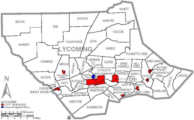
| current | 18:03, 16 June 2006 | | 882 × 546 (62 KB) | commons>Ruhrfisch | {{Information |Description=Map of Lycoming County with township and municipal bondaries |Source=taken from US Census website [http://factfinder.census.gov/] and modified by User:Ruhrfisch |Date=June 2006 |Author= US Census / Government and Ruhrfisch |
File usage
There are no pages that use this file.