File:Map of Lebanon County Pennsylvania School Districts.png
Jump to navigation
Jump to search
No higher resolution available.
Map_of_Lebanon_County_Pennsylvania_School_Districts.png (318 × 250 pixels, file size: 9 KB, MIME type: image/png)
File history
Click on a date/time to view the file as it appeared at that time.
| Date/Time | Thumbnail | Dimensions | User | Comment | |
|---|---|---|---|---|---|
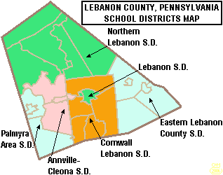
| current | 21:25, 21 June 2006 | | 318 × 250 (9 KB) | commons>Ruhrfisch | {{Information| |Description= Map of Lebanon County, Pennsylvania, United States Public School Districts |Source= taken from US Census website [http://factfinder.census.gov/] and modified by User:Ruhrfisch |Date= June 2006 |Author= US Census, Ruhrfis |
File usage
There are no pages that use this file.