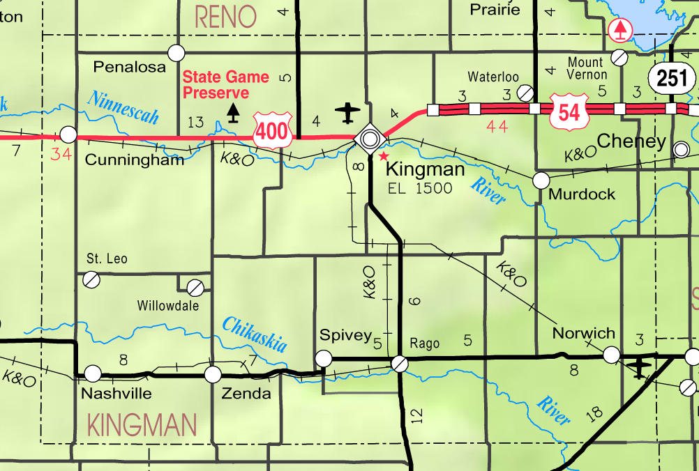
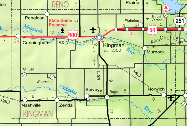
File:Map of Kingman Co, Ks, USA.png
Jump to navigation
Jump to search
Size of this preview: 800 × 540 pixels. Other resolutions: 320 × 216 pixels | 640 × 432 pixels | 1,002 × 676 pixels.
Original file (1,002 × 676 pixels, file size: 224 KB, MIME type: image/png)
File history
Click on a date/time to view the file as it appeared at that time.
| Date/Time | Thumbnail | Dimensions | User | Comment | |
|---|---|---|---|---|---|
| current | 01:58, 27 March 2006 | | 1,002 × 676 (224 KB) | commons>Moverton | Source: Kansas 2005-2006 Official Transportation Map {{PD-US}} |
File usage
There are no pages that use this file.