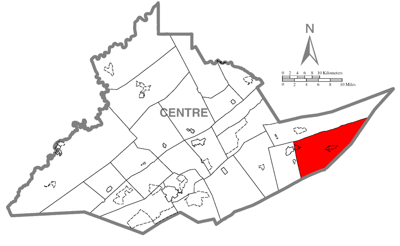
File:Map of Haines Township, Centre County, Pennsylvania Highlighted.png
Jump to navigation
Jump to search

Size of this preview: 800 × 493 pixels. Other resolutions: 320 × 197 pixels | 640 × 395 pixels | 1,024 × 631 pixels | 1,280 × 789 pixels | 2,680 × 1,652 pixels.
Original file (2,680 × 1,652 pixels, file size: 80 KB, MIME type: image/png)
File history
Click on a date/time to view the file as it appeared at that time.
| Date/Time | Thumbnail | Dimensions | User | Comment | |
|---|---|---|---|---|---|
| current | 16:10, 31 October 2006 | | 2,680 × 1,652 (80 KB) | commons>Ram-Man | {{Information| |Description={{PennMapDesc|Centre|Haines Township}} |Source=Source image taken from the United States Census Bureau's website [http://www2.census.gov/geo/maps/general_ref/cousub_outline/cen2k_pgsz/pa_cosub.pdf pa_cosub.pdf]. Image was modif |
File usage
There are no pages that use this file.