File:Map of Donegal Township, Washington County, Pennsylvania Highlighted.png
Jump to navigation
Jump to search

Size of this preview: 693 × 600 pixels. Other resolutions: 277 × 240 pixels | 555 × 480 pixels | 887 × 768 pixels | 1,183 × 1,024 pixels | 1,824 × 1,579 pixels.
Original file (1,824 × 1,579 pixels, file size: 146 KB, MIME type: image/png)
File history
Click on a date/time to view the file as it appeared at that time.
| Date/Time | Thumbnail | Dimensions | User | Comment | |
|---|---|---|---|---|---|
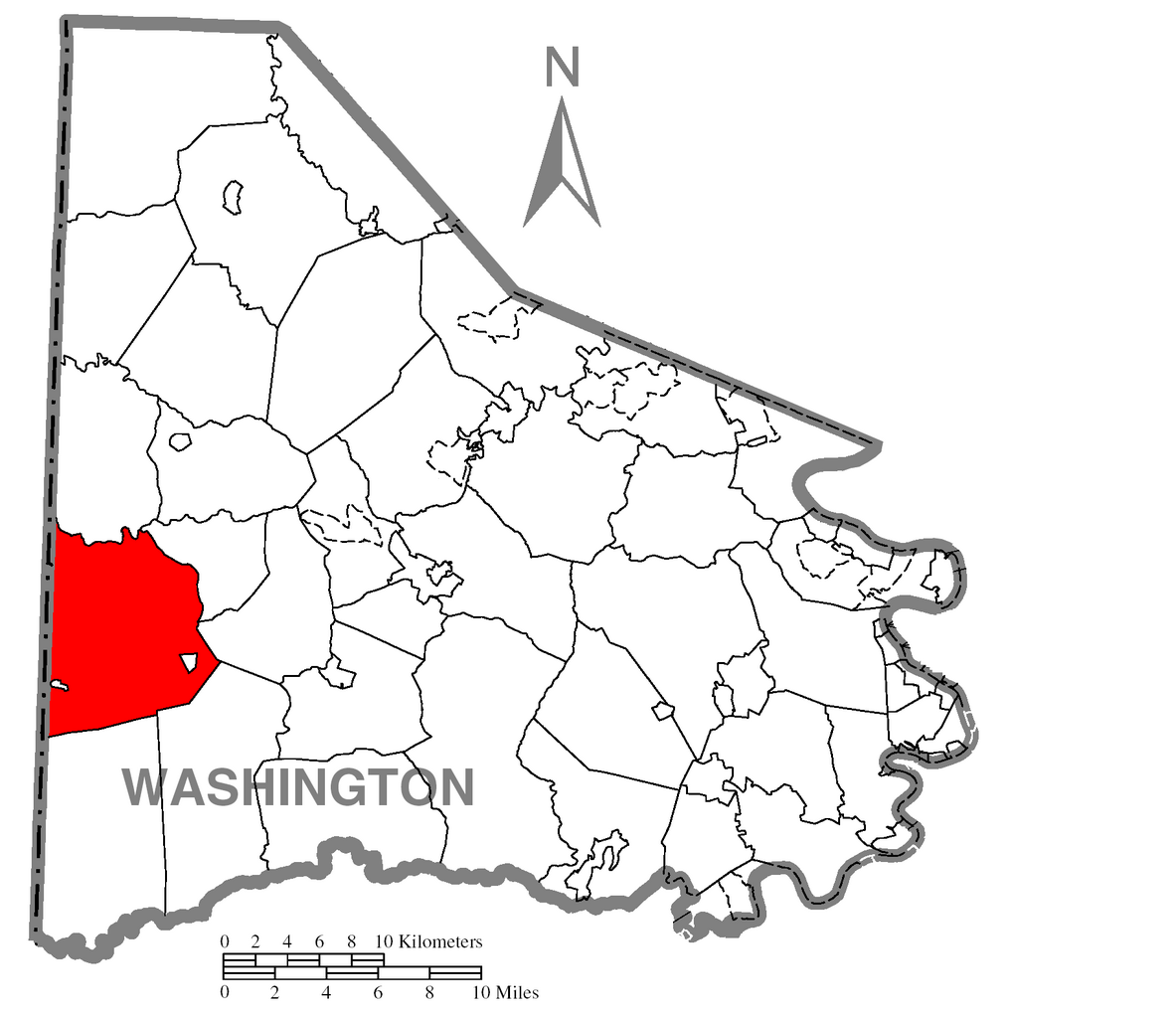
| current | 19:38, 14 July 2008 | | 1,824 × 1,579 (146 KB) | commons>Niagara | {{Information |Description=Map of Washington County higlighting Donegal Township. |Source=Source image taken from the United States Census Bureau's website [htt |
File usage
There are no pages that use this file.