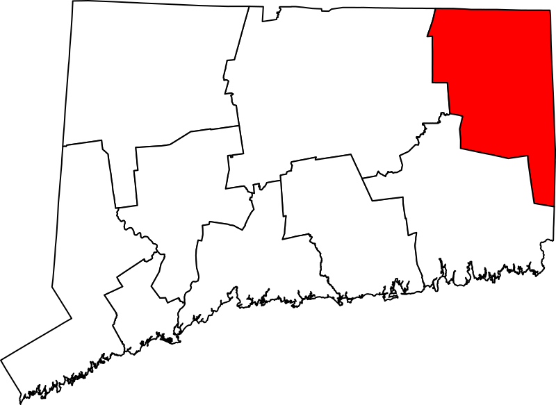
File:Map of Connecticut highlighting Northeastern Connecticut Planning Region.svg
Jump to navigation
Jump to search

Size of this PNG preview of this SVG file: 800 × 583 pixels. Other resolutions: 320 × 233 pixels | 640 × 466 pixels | 1,024 × 746 pixels | 1,280 × 933 pixels | 2,560 × 1,866 pixels.
Original file (SVG file, nominally 800 × 583 pixels, file size: 515 KB)
File history
Click on a date/time to view the file as it appeared at that time.
| Date/Time | Thumbnail | Dimensions | User | Comment | |
|---|---|---|---|---|---|
| current | 09:54, 24 March 2023 | | 800 × 583 (515 KB) | commons>Elli | Uploaded own work with UploadWizard |
File usage
There are no pages that use this file.