File:Map of Castle Heights, Los Angeles, CA.png
Jump to navigation
Jump to search
No higher resolution available.
Map_of_Castle_Heights,_Los_Angeles,_CA.png (401 × 316 pixels, file size: 124 KB, MIME type: image/png)
Summary
| Description |
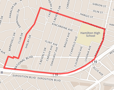
English: Map of Castle Heights, Los Angeles, CA |
| Date | |
| Source | openstreetmap.org |
| Author | Open Street Map |
Licensing
This file is licensed under the Creative Commons Attribution-Share Alike 4.0 International license.
- You are free:
- to share – to copy, distribute and transmit the work
- to remix – to adapt the work
- Under the following conditions:
- attribution – You must give appropriate credit, provide a link to the license, and indicate if changes were made. You may do so in any reasonable manner, but not in any way that suggests the licensor endorses you or your use.
- share alike – If you remix, transform, or build upon the material, you must distribute your contributions under the same or compatible license as the original.
File history
Click on a date/time to view the file as it appeared at that time.
| Date/Time | Thumbnail | Dimensions | User | Comment | |
|---|---|---|---|---|---|
| current | 10:38, 12 February 2015 | | 401 × 316 (124 KB) | commons>LCat007 | User created page with UploadWizard |
File usage
There are no pages that use this file.