File:Map of Adamsville, Crawford County, Pennsylvania Highlighted.png
Jump to navigation
Jump to search

Size of this preview: 800 × 452 pixels. Other resolutions: 320 × 181 pixels | 640 × 362 pixels | 1,024 × 579 pixels | 1,280 × 723 pixels | 2,454 × 1,387 pixels.
Original file (2,454 × 1,387 pixels, file size: 127 KB, MIME type: image/png)
File history
Click on a date/time to view the file as it appeared at that time.
| Date/Time | Thumbnail | Dimensions | User | Comment | |
|---|---|---|---|---|---|
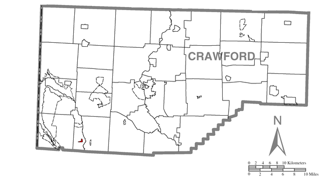
| current | 20:29, 20 April 2007 | | 2,454 × 1,387 (127 KB) | commons>Nyttend | Map of {{w|Crawford County, Pennsylvania|Crawford County}}, {{w|Pennsylvania}}, {{w|United States}}, with {{w|Adamsville, Pennsylvania|Adamsville}} highlighted. Derived from Image:Map of Crawford County, Pennsylvania.png, the description of which is |
File usage
There are no pages that use this file.