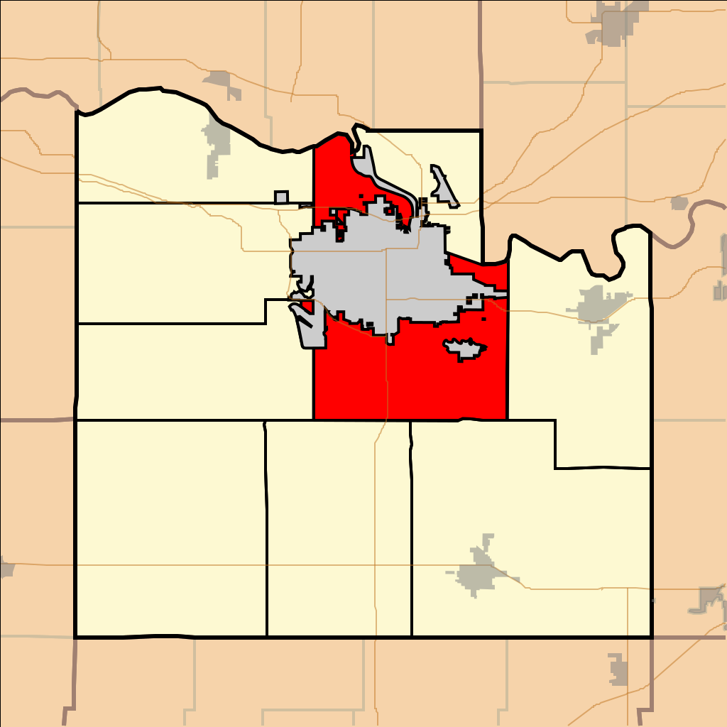
File:Map highlighting Wakarusa Township, Douglas County, Kansas.svg
Jump to navigation
Jump to search

Size of this PNG preview of this SVG file: 512 × 512 pixels. Other resolutions: 240 × 240 pixels | 480 × 480 pixels | 768 × 768 pixels | 1,024 × 1,024 pixels | 2,048 × 2,048 pixels.
Original file (SVG file, nominally 512 × 512 pixels, file size: 64 KB)
File history
Click on a date/time to view the file as it appeared at that time.
| Date/Time | Thumbnail | Dimensions | User | Comment | |
|---|---|---|---|---|---|
| current | 23:39, 31 August 2011 | | 512 × 512 (64 KB) | commons>Afarina~commonswiki | Updated municipal boundaries as of July 2011, using official maps from Douglas County and City of Lawrence websites |
File usage
There are no pages that use this file.