File:MapCirca1700 Bastimentos Portobelo Panama.png
Jump to navigation
Jump to search

Size of this preview: 800 × 541 pixels. Other resolutions: 320 × 216 pixels | 640 × 433 pixels | 1,024 × 692 pixels | 1,280 × 865 pixels | 1,654 × 1,118 pixels.
Original file (1,654 × 1,118 pixels, file size: 2.46 MB, MIME type: image/png)
File history
Click on a date/time to view the file as it appeared at that time.
| Date/Time | Thumbnail | Dimensions | User | Comment | |
|---|---|---|---|---|---|
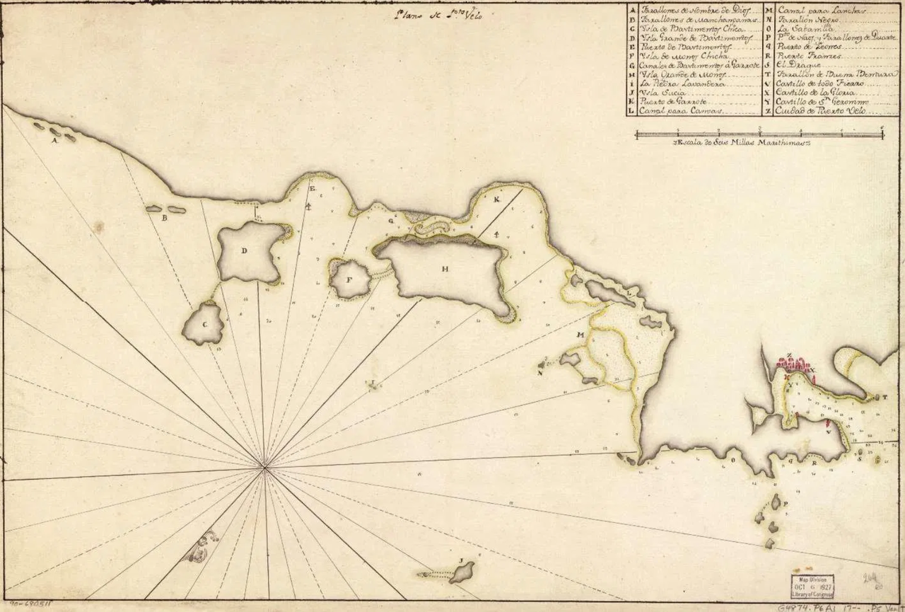
| current | 01:38, 3 November 2020 | | 1,654 × 1,118 (2.46 MB) | commons>Lobsterthermidor | {{Information |Description=Map (upside down/orientation to south) of north-east coast of Panama from Porto Bello to Nombre de Dios, based on a Spanish map c.1700, acquired Oct 1927 by the Map Division, Library of Congress, G4874.P6A1 17 P5 Vault. |Source=https://www.firelockgames.com/blood-plunder-organized-play/the-first-south-sea-adventure-san-felipe-de-portobello/ |Date=c.1700 |Author=Unknown Spanish cartographer |Permission= |other_versions= }} Category:Bastimentos, Portobelo |
File usage
There are no pages that use this file.