File:Manicaland districts.png
Jump to navigation
Jump to search
Size of this preview: 776 × 600 pixels. Other resolutions: 311 × 240 pixels | 621 × 480 pixels | 994 × 768 pixels | 1,056 × 816 pixels.
Original file (1,056 × 816 pixels, file size: 33 KB, MIME type: image/png)
File history
Click on a date/time to view the file as it appeared at that time.
| Date/Time | Thumbnail | Dimensions | User | Comment | |
|---|---|---|---|---|---|
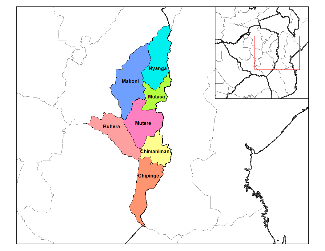
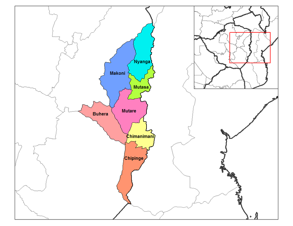
| current | 15:28, 10 January 2011 | | 1,056 × 816 (33 KB) | commons>Klik9 | {{Information |Description=Map of the districts of Manicaland province of Zimbabwe. |Source=Originally from [http://en.wikipedia.org en.wikipedia]; description page is (was) here |Date=2006 |Author=Rarelibra |Perm |
File usage
There are no pages that use this file.