File:Mali relief location map.jpg
Jump to navigation
Jump to search
Size of this preview: 629 × 600 pixels. Other resolutions: 252 × 240 pixels | 503 × 480 pixels | 805 × 768 pixels | 1,074 × 1,024 pixels | 1,900 × 1,812 pixels.
Original file (1,900 × 1,812 pixels, file size: 1.72 MB, MIME type: image/jpeg)
| Description |
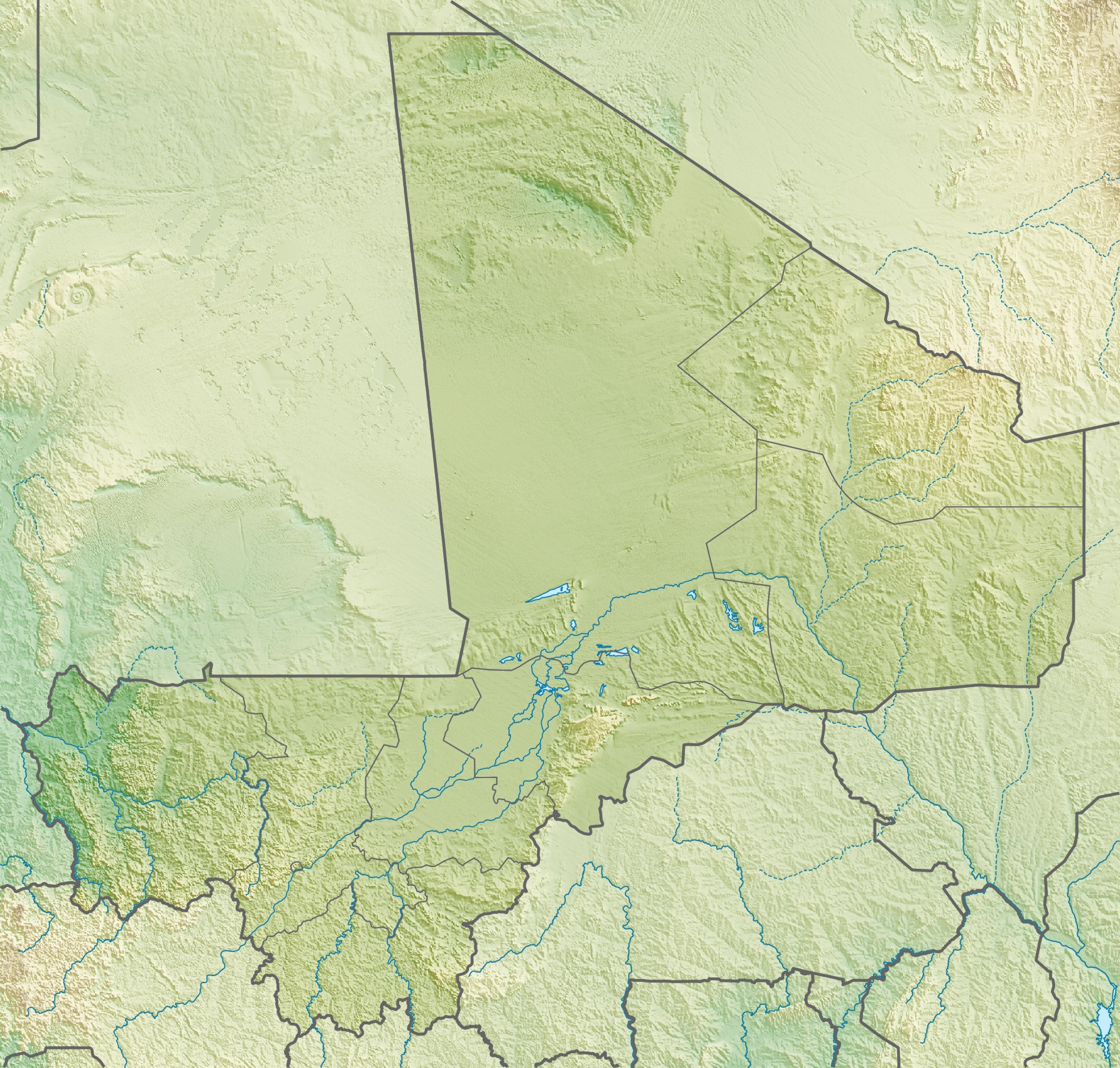
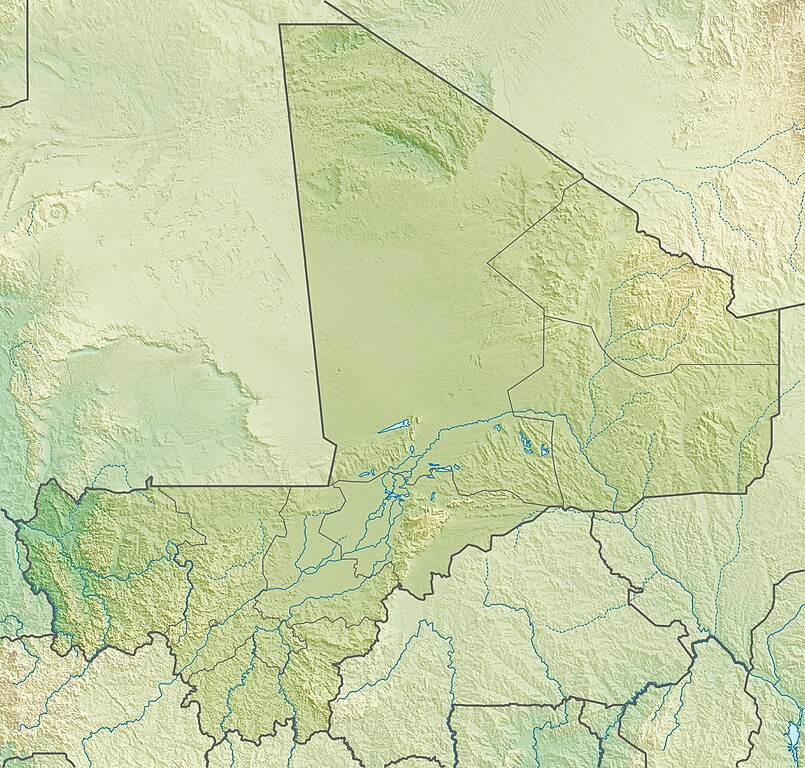
Deutsch: Physische Positionskarte von Malienne
Quadratische Plattkarte, N-S-Streckung 105 %. Geographische Begrenzung der Karte:
English: Physical location map of Malienne
Equirectangular projection, N/S stretching 105 %. Geographic limits of the map:
|
| Date | |
| Source | Own work, using map data from administrative map by NordNordWest. The relief was created from SRTM-30 relief data |
| Author | Carport |
| Permission (Reusing this file) |
This file is licensed under the Creative Commons Attribution-Share Alike 3.0 Unported license.
|
| Other versions |
|
File history
Click on a date/time to view the file as it appeared at that time.
| Date/Time | Thumbnail | Dimensions | User | Comment | |
|---|---|---|---|---|---|
| current | 15:22, 6 May 2010 | | 1,900 × 1,812 (1.72 MB) | commons>Carport | {{Information |Description={{de|Physische Positionskarte von {{w|Mali|3=de}}}} Quadratische Plattkarte, N-S-Streckung 105 %. Geographische Begrenzung der Karte: * N: 25.5° N * S: 9.7° N * W: 12.6° W * O: 4.8° O {{en|Physical location map of {{w|Mali}} |
File usage
There are no pages that use this file.