File:Madaba map.jpg
Jump to navigation
Jump to search

Size of this preview: 800 × 561 pixels. Other resolutions: 320 × 224 pixels | 640 × 449 pixels | 1,024 × 718 pixels.
Original file (1,024 × 718 pixels, file size: 193 KB, MIME type: image/jpeg)
File history
Click on a date/time to view the file as it appeared at that time.
| Date/Time | Thumbnail | Dimensions | User | Comment | |
|---|---|---|---|---|---|
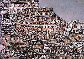
| current | 13:28, 7 February 2008 | | 1,024 × 718 (193 KB) | commons>Gusgus | {{Information |Description=Madaba map, plano de Jerusalén del siglo VI. |Source=http://en.wikipedia.org/wiki/Image:Madaba_map.jpg |Date=7 de febrero de 2008 |Author=User:Gusgus |other_versions= }} {{PD-old}} Category:Ancient Roman forts |
File usage
There are no pages that use this file.