File:Macquarie Island geology.png
Jump to navigation
Jump to search
Size of this preview: 312 × 598 pixels. Other resolutions: 125 × 240 pixels | 250 × 480 pixels | 400 × 768 pixels | 1,182 × 2,267 pixels.
Original file (1,182 × 2,267 pixels, file size: 276 KB, MIME type: image/png)
File history
Click on a date/time to view the file as it appeared at that time.
| Date/Time | Thumbnail | Dimensions | User | Comment | |
|---|---|---|---|---|---|
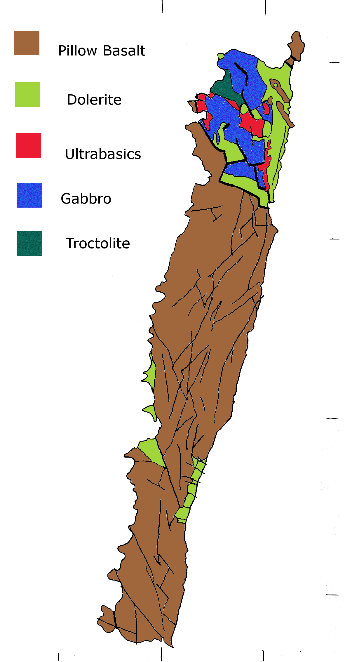
| current | 02:47, 4 August 2008 | | 1,182 × 2,267 (276 KB) | commons>Graeme Bartlett | {{Information |Description={{en|1=Geological map showing rock types}} |Source=Own work by uploader |Author=Graeme Bartlett |Date=3 August 2008 |Permission= |other_versions= }} {{ImageUpload|full}} Category:Tasmania |
File usage
There are no pages that use this file.