File:Městské části Prahy.PNG
Jump to navigation
Jump to search
Size of this preview: 800 × 585 pixels. Other resolutions: 320 × 234 pixels | 640 × 468 pixels | 1,024 × 749 pixels | 1,373 × 1,004 pixels.
Original file (1,373 × 1,004 pixels, file size: 140 KB, MIME type: image/png)
File history
Click on a date/time to view the file as it appeared at that time.
| Date/Time | Thumbnail | Dimensions | User | Comment | |
|---|---|---|---|---|---|
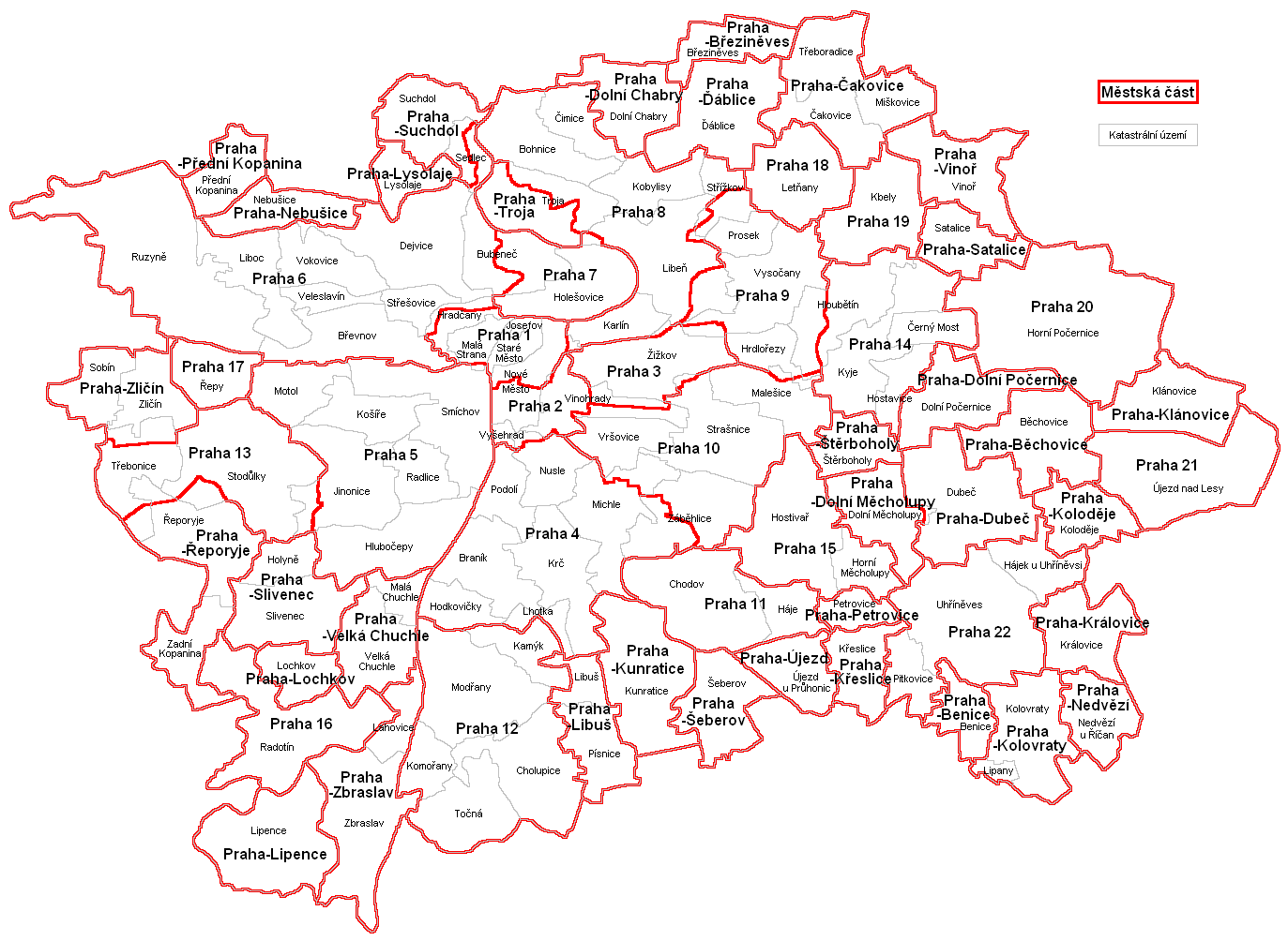
| current | 17:36, 7 December 2010 | | 1,373 × 1,004 (140 KB) | commons>Mapového náložník | {{Information |Description=Mapka městských částí a katastrálních území hlavního města Prahy |Source={{own}} |Author=Mapového náložník |Date=7.12.2010 |Permission= |other_versions= }} [[Category:Maps of the Cz |
File usage
There are no pages that use this file.