File:LynnhavenRiverMap(USGS).jpg
Jump to navigation
Jump to search
Size of this preview: 800 × 437 pixels. Other resolutions: 320 × 175 pixels | 640 × 350 pixels | 1,236 × 675 pixels.
Original file (1,236 × 675 pixels, file size: 333 KB, MIME type: image/jpeg)
.jpg)
File history
Click on a date/time to view the file as it appeared at that time.
| Date/Time | Thumbnail | Dimensions | User | Comment | |
|---|---|---|---|---|---|
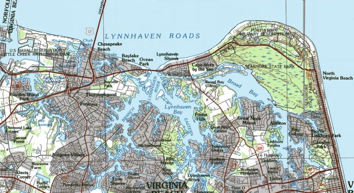
| current | 03:45, 11 February 2007 | | 1,236 × 675 (333 KB) | commons>AjaxSmack | Map of the Lynnhaven River area of northern Virginia Beach, Virginia, United States. Map from United States Geological Survey. |
File usage
There are no pages that use this file.
.jpg)