File:Looking NNE from the Sugar Loaf - geograph.org.uk - 355915.jpg
Jump to navigation
Jump to search
No higher resolution available.
Looking_NNE_from_the_Sugar_Loaf_-_geograph.org.uk_-_355915.jpg (640 × 480 pixels, file size: 70 KB, MIME type: image/jpeg)
File history
Click on a date/time to view the file as it appeared at that time.
| Date/Time | Thumbnail | Dimensions | User | Comment | |
|---|---|---|---|---|---|
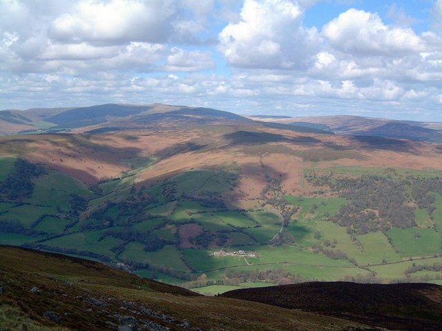
| current | 19:21, 2 January 2011 | | 640 × 480 (70 KB) | commons>GeographBot | == {{int:filedesc}} == {{Information |description={{en|1=Looking NNE from the Sugar Loaf The highest point just left of centre of the image on the skyline is Grug Mawr. Forest Coal Pit lies in the valley just out of the picture on the right.}} |date=2004- |
File usage
There are no pages that use this file.