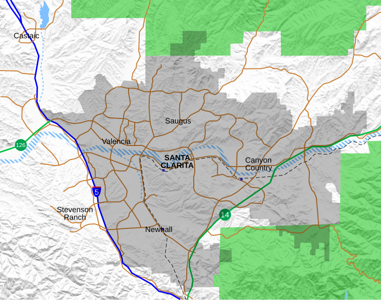
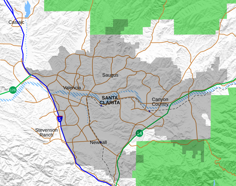
File:Location map Santa Clarita.svg
Jump to navigation
Jump to search

Size of this PNG preview of this SVG file: 761 × 599 pixels. Other resolutions: 305 × 240 pixels | 610 × 480 pixels | 975 × 768 pixels | 1,280 × 1,008 pixels | 2,560 × 2,016 pixels | 796 × 627 pixels.
Original file (SVG file, nominally 796 × 627 pixels, file size: 1.89 MB)
File history
Click on a date/time to view the file as it appeared at that time.
| Date/Time | Thumbnail | Dimensions | User | Comment | |
|---|---|---|---|---|---|
| current | 21:05, 24 September 2021 | | 796 × 627 (1.89 MB) | commons>Crossover1370 | Remove the relatively minor Canyon Park Blvd and Lost Canyon Rd, and add Tourney Rd, a major street home to numerous hotels, government, and medical offices. |
File usage
There are no pages that use this file.