File:Lake Winnipeg map.png
Jump to navigation
Jump to search

Size of this preview: 575 × 600 pixels. Other resolutions: 230 × 240 pixels | 460 × 480 pixels | 1,000 × 1,043 pixels.
Original file (1,000 × 1,043 pixels, file size: 92 KB, MIME type: image/png)
File history
Click on a date/time to view the file as it appeared at that time.
| Date/Time | Thumbnail | Dimensions | User | Comment | |
|---|---|---|---|---|---|
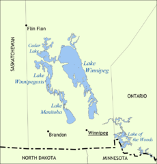
| current | 15:41, 31 May 2006 | | 1,000 × 1,043 (92 KB) | commons>NormanEinstein | Map showing the location of Lake Winnipeg, Lake Manitoba, and Lake Winnipegosis in Manitoba, Canada. Created by NormanEinstein, May 31, 2006. {{GFDL-self}} Category:Maps of Manitoba |
File usage
There are no pages that use this file.