File:Laguna Concepción Bolivia Satellite map 61.36363W 17.png
Jump to navigation
Jump to search
Size of this preview: 800 × 550 pixels. Other resolutions: 320 × 220 pixels | 640 × 440 pixels | 1,024 × 703 pixels | 1,150 × 790 pixels.
Original file (1,150 × 790 pixels, file size: 1.95 MB, MIME type: image/png)
File history
Click on a date/time to view the file as it appeared at that time.
| Date/Time | Thumbnail | Dimensions | User | Comment | |
|---|---|---|---|---|---|
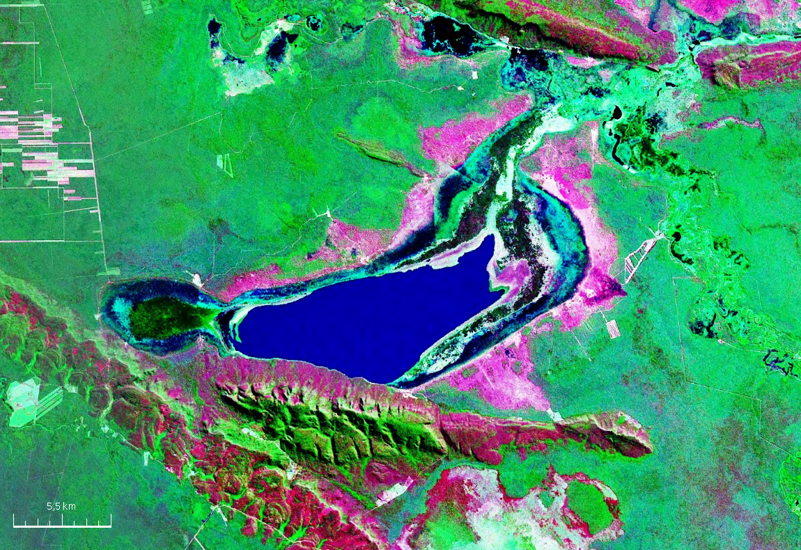
| current | 11:32, 2 October 2007 | | 1,150 × 790 (1.95 MB) | commons>Paris88 | {{Information |Description= Vista satelital de la laguna Concepción ubicada en el centro del departamento de Santa Cruz (Bolivia). |Source= Nasa WorldWind |Date= |Author= NASA |Permission= see below |other_versions= }} {{PD-WorldWind}} [[Category:Satell |
File usage
There are no pages that use this file.