File:Lagekarte Waldaihöhen.png
Jump to navigation
Jump to search

Size of this preview: 737 × 599 pixels. Other resolutions: 295 × 240 pixels | 590 × 480 pixels | 944 × 768 pixels | 1,259 × 1,024 pixels | 2,046 × 1,664 pixels.
Original file (2,046 × 1,664 pixels, file size: 2.97 MB, MIME type: image/png)
File history
Click on a date/time to view the file as it appeared at that time.
| Date/Time | Thumbnail | Dimensions | User | Comment | |
|---|---|---|---|---|---|
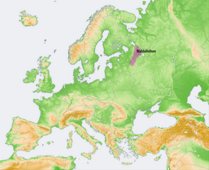
| current | 19:05, 7 October 2009 | | 2,046 × 1,664 (2.97 MB) | commons>Chumwa | {{Information |Description= *{{ de }} Landschaften der Osteuropäischen Ebene: Waldaihöhen |Source={{Own}}, using: *this file, based on a map by San Jose which was created |
File usage
There are no pages that use this file.