File:Kwail location.png
Jump to navigation
Jump to search
No higher resolution available.
Kwail_location.png (500 × 434 pixels, file size: 73 KB, MIME type: image/png)
File history
Click on a date/time to view the file as it appeared at that time.
| Date/Time | Thumbnail | Dimensions | User | Comment | |
|---|---|---|---|---|---|
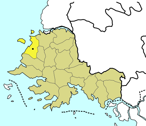
| current | 18:15, 12 July 2008 | | 500 × 434 (73 KB) | commons>Amble | {{Information |Description=A map of North Korea with second-level divisions.North Korea CREATED/PUBLISHED [Washington, D.C. : Central Intelligence Agency, 1996] NOTES Relief shown by shading and spot heights. "Base 802497 (546979) 6-96." Scale [ca. 1: |
File usage
There are no pages that use this file.