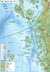
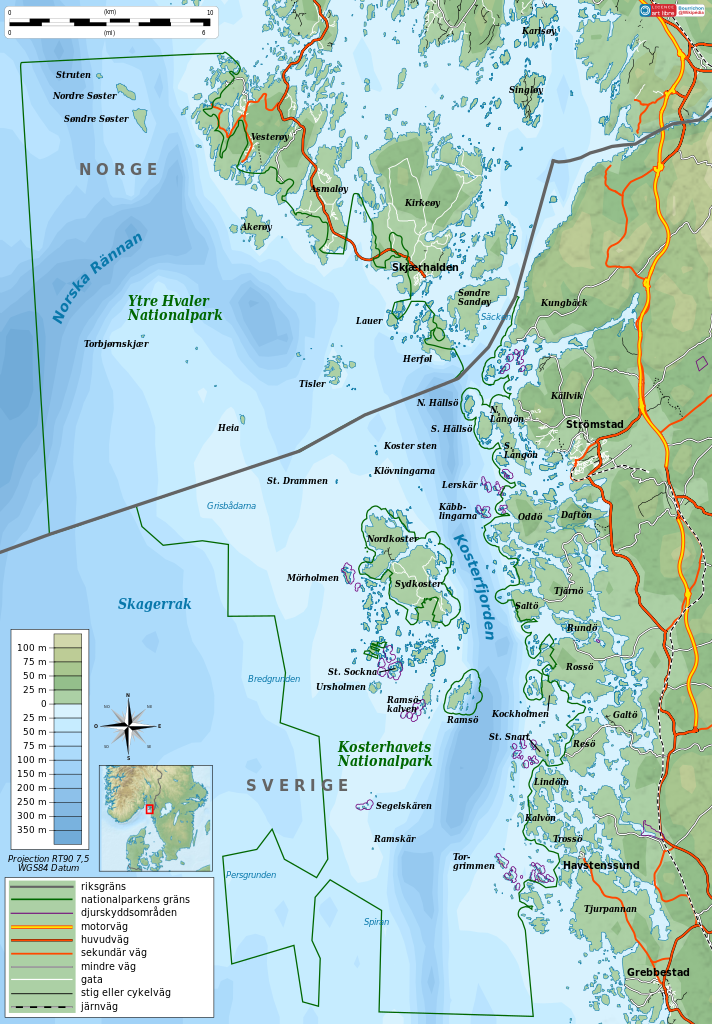
File:Kosterhavet Ytre Hvaler National Park topographic map-sv.svg
Jump to navigation
Jump to search

Size of this PNG preview of this SVG file: 417 × 599 pixels. Other resolutions: 167 × 240 pixels | 334 × 480 pixels | 534 × 768 pixels | 712 × 1,024 pixels | 1,425 × 2,048 pixels | 1,625 × 2,336 pixels.
Original file (SVG file, nominally 1,625 × 2,336 pixels, file size: 4.36 MB)
File history
Click on a date/time to view the file as it appeared at that time.
| Date/Time | Thumbnail | Dimensions | User | Comment | |
|---|---|---|---|---|---|
| current | 08:14, 21 December 2011 | | 1,625 × 2,336 (4.36 MB) | commons>Silverkey | Orthographic corrections |
File usage
There are no pages that use this file.