File:Koppen-Geiger Map CIV present.svg
Jump to navigation
Jump to search

Size of this PNG preview of this SVG file: 800 × 584 pixels. Other resolutions: 320 × 234 pixels | 640 × 467 pixels | 1,024 × 748 pixels | 1,280 × 935 pixels | 2,560 × 1,869 pixels | 1,164 × 850 pixels.
Original file (SVG file, nominally 1,164 × 850 pixels, file size: 591 KB)
File history
Click on a date/time to view the file as it appeared at that time.
| Date/Time | Thumbnail | Dimensions | User | Comment | |
|---|---|---|---|---|---|
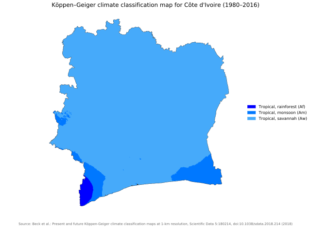
| current | 03:54, 26 November 2018 | | 1,164 × 850 (591 KB) | commons>NVergopolan | {{Information |Description={{en| Köppen–Geiger climate classification map for Côte d'Ivoire}}|date=2018-11-06|source={{cite journal | title=Present and future Köppen-Geiger climate classification maps at 1-km resolution | journal=Nature Scientific Data |doi=10.1038/sdata.2018.214}}|author=Beck, H.E., Zimmermann, N. E., McVicar, T. R., Vergopolan, N., Berg, A., & Wood, E. F.|permission=|other_versions=|other_fields=}}{{Cc-by-4.0}}{{Location|7.549223425|-5.54709959}}[[Category:Köppen-Geiger Cli... |
File usage
There are no pages that use this file.