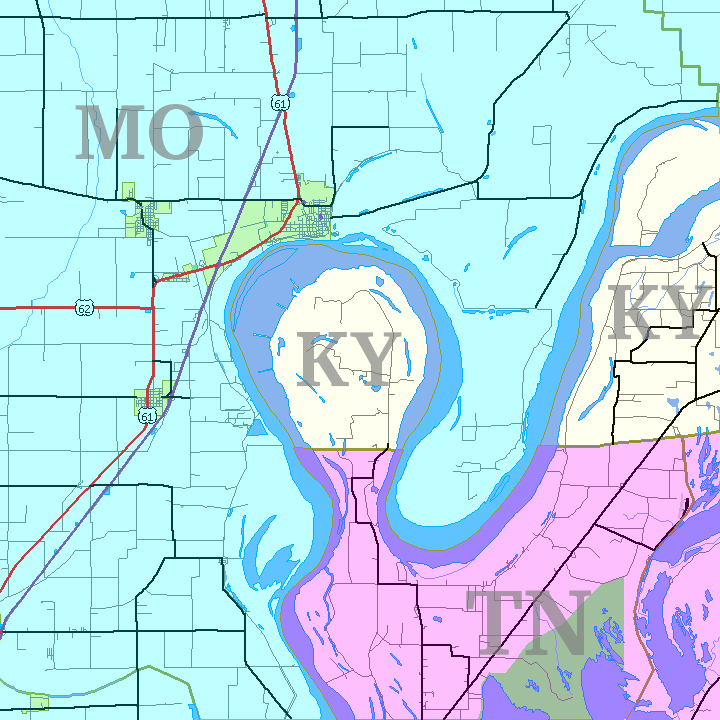
File:Kentucky Bend map.png
Jump to navigation
Jump to search
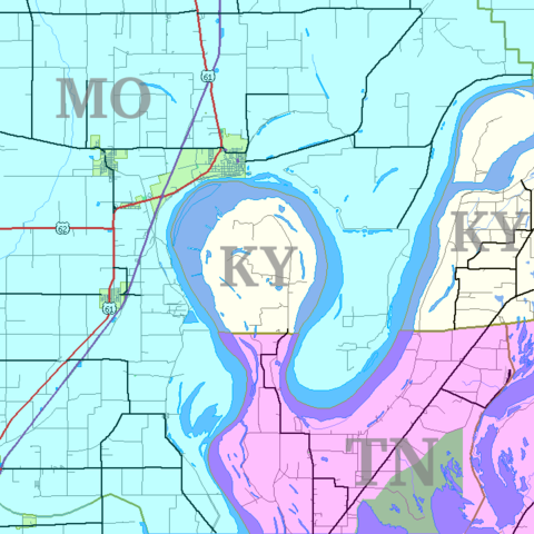
Size of this preview: 600 × 600 pixels. Other resolutions: 240 × 240 pixels | 480 × 480 pixels | 720 × 720 pixels.
Original file (720 × 720 pixels, file size: 31 KB, MIME type: image/png)
File history
Click on a date/time to view the file as it appeared at that time.
| Date/Time | Thumbnail | Dimensions | User | Comment | |
|---|---|---|---|---|---|
| current | 05:35, 14 January 2007 | | 720 × 720 (31 KB) | commons>Closeapple | {{Information |Description=Map of Kentucky Bend w:exclave between Missouri and Tennessee, USA. |Source=self; based on [http://tiger.census.gov/cgi-bin/mapper/map.gif?&lat=39.74099&lon=-89.07248&ht=6.000&wid=5.000&on=CITIES&on=shorelin&on=states&on |
File usage
There are no pages that use this file.