File:Karta PG D´Entrecasteaux isl.PNG
Jump to navigation
Jump to search
No higher resolution available.
Karta_PG_D´Entrecasteaux_isl.PNG (300 × 200 pixels, file size: 4 KB, MIME type: image/png)
File history
Click on a date/time to view the file as it appeared at that time.
| Date/Time | Thumbnail | Dimensions | User | Comment | |
|---|---|---|---|---|---|
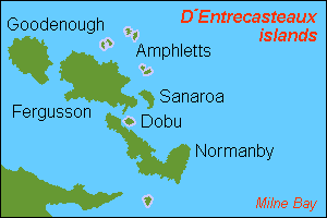
| current | 12:13, 12 May 2007 | | 300 × 200 (4 KB) | commons>Hobe | {{Information |Description=map D´Entrecasteaux islands, Papua New Guinea |Source=own work, composed from various mapreferences |Date=2007-04-25 |Author=Holger Behr |Permission= |other_versions= }} |
File usage
There are no pages that use this file.