File:Karl 2016 path.png
Jump to navigation
Jump to search
Size of this preview: 800 × 595 pixels. Other resolutions: 320 × 238 pixels | 640 × 476 pixels | 1,024 × 762 pixels | 1,280 × 952 pixels | 2,700 × 2,009 pixels.
Original file (2,700 × 2,009 pixels, file size: 958 KB, MIME type: image/png)
File history
Click on a date/time to view the file as it appeared at that time.
| Date/Time | Thumbnail | Dimensions | User | Comment | |
|---|---|---|---|---|---|
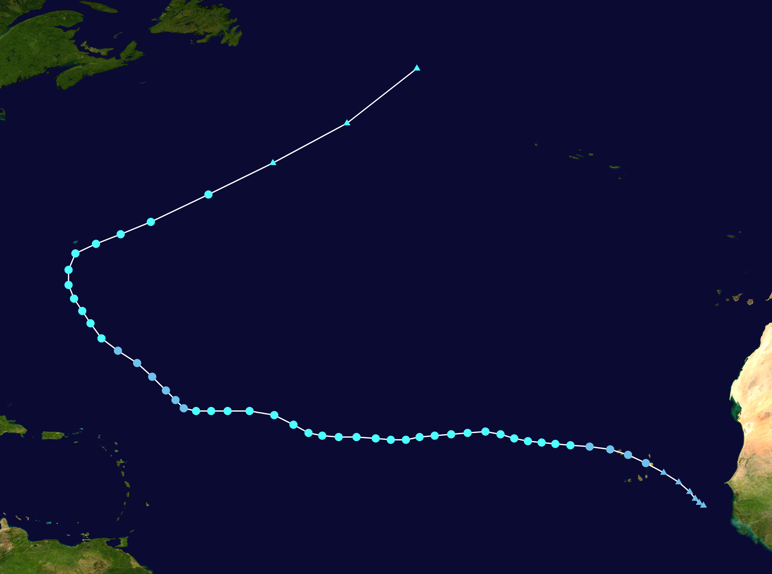
| current | 17:49, 23 February 2024 | | 2,700 × 2,009 (958 KB) | commons>2003 LN6 | {{WPTC track map | author = 2003 LN6 | name = Tropical Storm Karl | article = 2016 Atlantic hurricane season#Tropical Storm Karl | season = 2016 Atlantic hurricane season |colors=new | start = 2016-09-12 | end = 2016-09-26 | source=NHC | catname=Tropical Storm Karl (2016) | code=./track --res 3000 --input ../data/2016/btk/bal122016.dat --format atcf --extra 1 --output ../png/Karl_2016_track.png AL122016, KARL, 54, 20160912, 1800, , LO, 13.1N, 19.0W, 20, 1010,... |
File usage
There are no pages that use this file.