File:Jacobs School Philly.JPG
Jump to navigation
Jump to search

Size of this preview: 800 × 480 pixels. Other resolutions: 320 × 192 pixels | 1,024 × 614 pixels | 1,280 × 768 pixels | 2,105 × 1,263 pixels.
Original file (2,105 × 1,263 pixels, file size: 1.39 MB, MIME type: image/jpeg)
|
This is an image of a place or building that is listed on the National Register of Historic Places in the United States of America. Its reference number is 86003295. |
Summary
| Description |
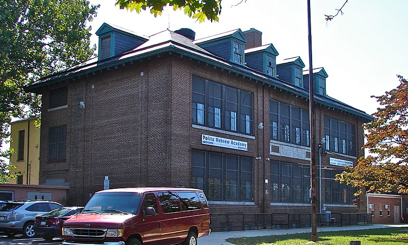
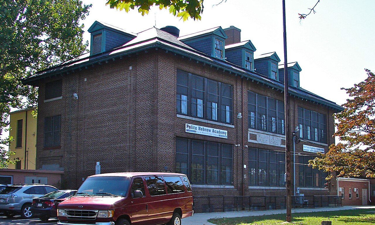
English: Fayette School aka Jacobs School, now housing the Politz Hebrew Academy, on the NRHP since December 4, 1986. About 1 block south of the corner of Old Bustleton and Welsh Roads (on Old Bustleton). The NRHP plaque is visible in this photo just above the red car. In the NE Philadelphia Neighborhood of Bustleton. |
| Date | |
| Source | Own work |
| Author | Smallbones |
| Camera location | | View this and other nearby images on: OpenStreetMap |
|---|
Licensing
| I, the copyright holder of this work, release this work into the public domain. This applies worldwide. In some countries this may not be legally possible; if so: I grant anyone the right to use this work for any purpose, without any conditions, unless such conditions are required by law. |
File history
Click on a date/time to view the file as it appeared at that time.
| Date/Time | Thumbnail | Dimensions | User | Comment | |
|---|---|---|---|---|---|
| current | 03:21, 8 October 2010 | | 2,105 × 1,263 (1.39 MB) | commons>Smallbones | {{Information |Description={{en|1=Fayette School aka Jacobs School, now housing the Politz Hebrew Academy, on the NRHP since December 4, 1986. About 1 block south of the corner of Old Bustleton and Welsh Roads (on Old Bustleton). The NRHP plaque is visi |
File usage
There are no pages that use this file.