File:Huairivermap.jpg
Jump to navigation
Jump to search
No higher resolution available.
Huairivermap.jpg (721 × 462 pixels, file size: 220 KB, MIME type: image/jpeg)
File history
Click on a date/time to view the file as it appeared at that time.
| Date/Time | Thumbnail | Dimensions | User | Comment | |
|---|---|---|---|---|---|
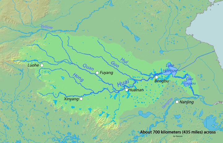
| current | 03:16, 3 March 2010 | | 721 × 462 (220 KB) | commons>Shannon1 | {{Information |Description={{en|1=Map of the Huai River, whose watershed drains much of eastern China between the Yellow and Yangtze Rivers, eventually flowing into the Yangtze}} |Source=Background and river course data from http://www2.demis.nl/mapserver |
File usage
There are no pages that use this file.