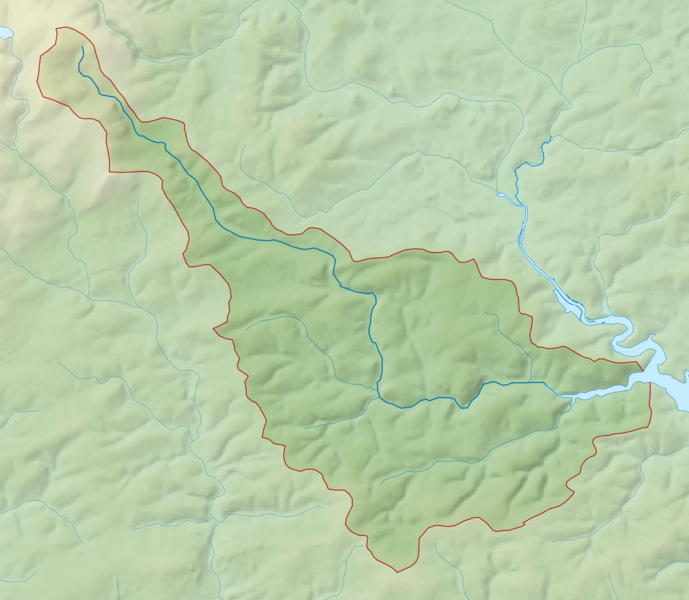
File:Harbourne River map.png
Jump to navigation
Jump to search

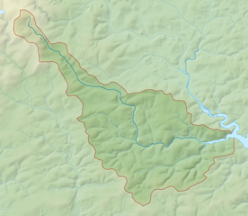
Size of this preview: 689 × 600 pixels. Other resolutions: 276 × 240 pixels | 552 × 480 pixels | 882 × 768 pixels | 1,177 × 1,024 pixels | 1,504 × 1,309 pixels.
Original file (1,504 × 1,309 pixels, file size: 413 KB, MIME type: image/png)
File history
Click on a date/time to view the file as it appeared at that time.
| Date/Time | Thumbnail | Dimensions | User | Comment | |
|---|---|---|---|---|---|
| current | 11:54, 21 February 2014 | | 1,504 × 1,309 (413 KB) | commons>Nilfanion | == {{int:filedesc}} == {{Information |Description= {{en|Map of the Harbourne River and its catchment in Devon, UK.}} |Source=Ordnance Survey [https://www.ordnancesurvey.co.uk/opendatadownload/products.html OpenData]. *Relief data... |
File usage
There are no pages that use this file.