File:GreatNicobarMap.jpg
Jump to navigation
Jump to search
No higher resolution available.
GreatNicobarMap.jpg (438 × 482 pixels, file size: 57 KB, MIME type: image/jpeg)
File history
Click on a date/time to view the file as it appeared at that time.
| Date/Time | Thumbnail | Dimensions | User | Comment | |
|---|---|---|---|---|---|
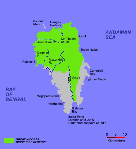
| current | 01:30, 16 February 2008 | | 438 × 482 (57 KB) | commons>Landbot | {{Information |Description= Map of Great Nicobar Island |Source=self-made |Date= 15 February 2008 |Author= Landbot |Permission= |other_versions= }} |
File usage
There are no pages that use this file.