File:Gongola State Nigeria.jpg
Jump to navigation
Jump to search

Size of this preview: 676 × 600 pixels. Other resolutions: 271 × 240 pixels | 541 × 480 pixels | 866 × 768 pixels | 1,154 × 1,024 pixels | 1,869 × 1,658 pixels.
Original file (1,869 × 1,658 pixels, file size: 197 KB, MIME type: image/jpeg)
File history
Click on a date/time to view the file as it appeared at that time.
| Date/Time | Thumbnail | Dimensions | User | Comment | |
|---|---|---|---|---|---|
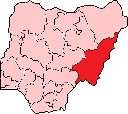
| current | 09:10, 7 November 2010 | | 1,869 × 1,658 (197 KB) | commons>Jssfrk | {{Information |Description=Map of the former Gongola State in Nigeria. Based on Nigerian states, 1976 - 1987, from data from United States Geological Survey, Africa Data Dissemination Service. |Source=*File:Nigeria_states-1976-1987.png |Date=2010-11 |
File usage
There are no pages that use this file.