File:Godrevy Cornwall map.png
Jump to navigation
Jump to search

Size of this preview: 780 × 599 pixels. Other resolutions: 312 × 240 pixels | 625 × 480 pixels | 999 × 768 pixels | 1,266 × 973 pixels.
Original file (1,266 × 973 pixels, file size: 63 KB, MIME type: image/png)
File history
Click on a date/time to view the file as it appeared at that time.
| Date/Time | Thumbnail | Dimensions | User | Comment | |
|---|---|---|---|---|---|
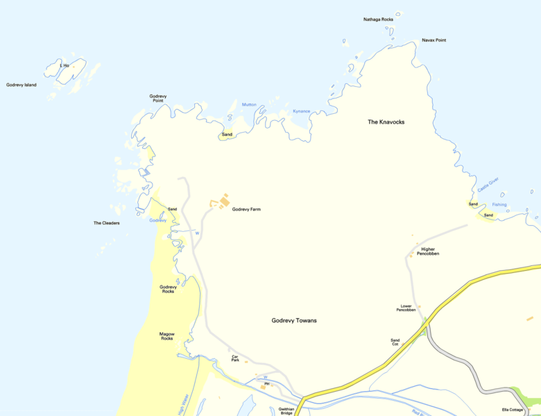
| current | 08:29, 26 January 2012 | | 1,266 × 973 (63 KB) | commons>Prioryman | {{Information |Description=Map of Godrevy, Cornwall |Source=Ordnance Survey OpenData |Date=26 January 2012 |Author=Ordnance Survey |Permission={{OS OpenData}} |other_versions= }} Category:Maps of Cornwall Category:OS OpenData |
File usage
There are no pages that use this file.