File:Firthofclydemap.png
Jump to navigation
Jump to search
Size of this preview: 531 × 600 pixels. Other resolutions: 212 × 240 pixels | 541 × 611 pixels.
Original file (541 × 611 pixels, file size: 18 KB, MIME type: image/png)
File history
Click on a date/time to view the file as it appeared at that time.
| Date/Time | Thumbnail | Dimensions | User | Comment | |
|---|---|---|---|---|---|
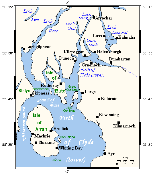
| current | 09:59, 29 September 2006 | | 541 × 611 (18 KB) | commons>Voyager | Map of the Firth of Clyde and surrounding lands and waters on the western coast of Scotland. This map's source is [http://www.aquarius.geomar.de/omc/make_map.html here], with the uploader's modifications, and the [http://gmt.soest.hawaii.edu/ GMT homepag |
File usage
There are no pages that use this file.