File:Fire Control Tower 23.JPG
Jump to navigation
Jump to search

Size of this preview: 450 × 600 pixels. Other resolutions: 180 × 240 pixels | 360 × 480 pixels | 576 × 768 pixels | 768 × 1,024 pixels | 1,536 × 2,048 pixels | 2,700 × 3,600 pixels.
Original file (2,700 × 3,600 pixels, file size: 2.9 MB, MIME type: image/jpeg)
File history
Click on a date/time to view the file as it appeared at that time.
| Date/Time | Thumbnail | Dimensions | User | Comment | |
|---|---|---|---|---|---|
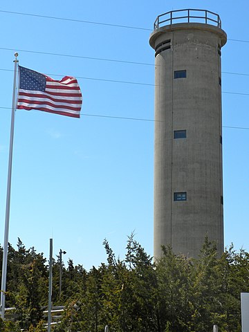
| current | 14:02, 6 April 2010 | | 2,700 × 3,600 (2.9 MB) | commons>Smallbones | {{Information |Description={{en|1=Fire Control Tower No. 23 on NRHP since November 17, 2003. On Sunset Boulevard near Sunset Beach west of West Cape May (village) near Cape May Point. Tower was used during WWII, together with batteries in Lewes, Delaware |
File usage
There are no pages that use this file.