File:Eriskay map.svg
Jump to navigation
Jump to search

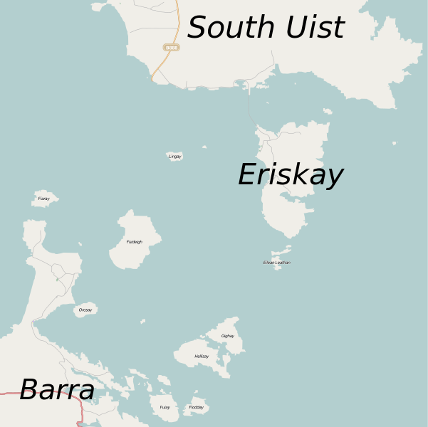
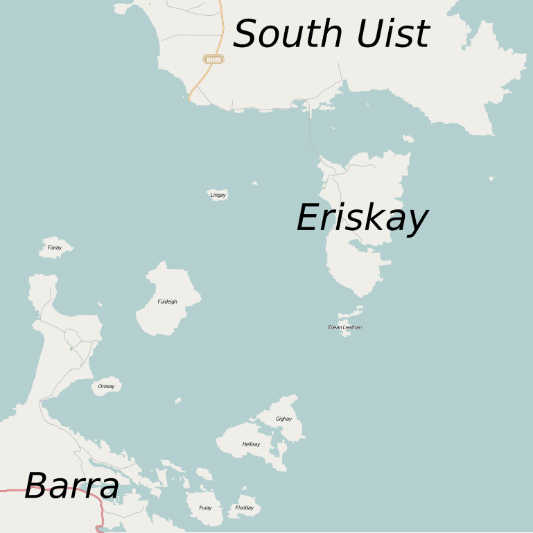
Size of this PNG preview of this SVG file: 601 × 600 pixels. Other resolutions: 240 × 240 pixels | 481 × 480 pixels | 769 × 768 pixels | 1,026 × 1,024 pixels | 2,051 × 2,048 pixels | 1,180 × 1,178 pixels.
Original file (SVG file, nominally 1,180 × 1,178 pixels, file size: 235 KB)
File history
Click on a date/time to view the file as it appeared at that time.
| Date/Time | Thumbnail | Dimensions | User | Comment | |
|---|---|---|---|---|---|
| current | 09:24, 16 September 2010 | | 1,180 × 1,178 (235 KB) | commons>Mipmapped | Increased size of labels for major islands. |
File usage
There are no pages that use this file.