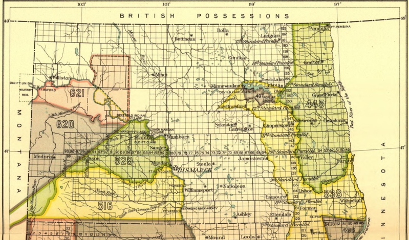
File:Early Indian treaty territories, North Dakota. Map 1 (1851-1891).png
Jump to navigation
Jump to search

Size of this preview: 800 × 469 pixels. Other resolutions: 320 × 188 pixels | 640 × 376 pixels | 1,024 × 601 pixels | 1,440 × 845 pixels.
Original file (1,440 × 845 pixels, file size: 2.85 MB, MIME type: image/png)
.png)
File history
Click on a date/time to view the file as it appeared at that time.
| Date/Time | Thumbnail | Dimensions | User | Comment | |
|---|---|---|---|---|---|
| current | 07:18, 26 August 2017 | | 1,440 × 845 (2.85 MB) | commons>Naawada2016 | User created page with UploadWizard |
File usage
There are no pages that use this file.
.png)