File:Drill range map.svg
Jump to navigation
Jump to search

Size of this PNG preview of this SVG file: 671 × 600 pixels. Other resolutions: 269 × 240 pixels | 537 × 480 pixels | 860 × 768 pixels | 1,146 × 1,024 pixels | 2,292 × 2,048 pixels | 4,848 × 4,332 pixels.
Original file (SVG file, nominally 4,848 × 4,332 pixels, file size: 717 KB)
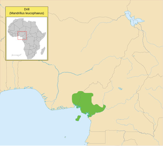
| Description | range map of the Drill (Mandrillus leucophaeus) |
| Date | 1 May 2007 (upload date) |
| Source | self-made based on CITES data and using a blank map of Africa from commons |
| Author | Bamse |
| Other versions | png-version |
The map has been created with the Generic Mapping Tools: https://www.generic-mapping-tools.org/ using one or more of these public-domain datasets for the relief:
|

|
Permission is granted to copy, distribute and/or modify this document under the terms of the GNU Free Documentation License, Version 1.2 or any later version published by the Free Software Foundation; with no Invariant Sections, no Front-Cover Texts, and no Back-Cover Texts. A copy of the license is included in the section entitled GNU Free Documentation License. |
| This file is licensed under the Creative Commons Attribution-Share Alike 3.0 Unported license. | ||
| ||
| This licensing tag was added to this file as part of the GFDL licensing update. |
File history
Click on a date/time to view the file as it appeared at that time.
| Date/Time | Thumbnail | Dimensions | User | Comment | |
|---|---|---|---|---|---|
| current | 12:29, 18 August 2020 | | 4,848 × 4,332 (717 KB) | commons>Hogweard | South Sudan border on inset map |
File usage
There are no pages that use this file.