File:DraytonMapOfNinetySix.png
Jump to navigation
Jump to search
No higher resolution available.
DraytonMapOfNinetySix.png (764 × 430 pixels, file size: 20 KB, MIME type: image/png)
File history
Click on a date/time to view the file as it appeared at that time.
| Date/Time | Thumbnail | Dimensions | User | Comment | |
|---|---|---|---|---|---|
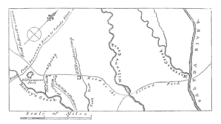
| current | 15:17, 25 January 2012 | | 764 × 430 (20 KB) | commons>Magicpiano | {{Information |Description=Map showing the area around Ninety Six, South Carolina early in the American Revolutionary War. The "fort" of Major Andrew Williamson, the site of the [[w:Siege of Savage's Old Fields|Siege of S |
File usage
There are no pages that use this file.