File:Djurgårdslinjen map.svg
Jump to navigation
Jump to search

Size of this PNG preview of this SVG file: 500 × 258 pixels. Other resolutions: 320 × 165 pixels | 640 × 330 pixels | 1,024 × 528 pixels | 1,280 × 660 pixels | 2,560 × 1,321 pixels.
Original file (SVG file, nominally 500 × 258 pixels, file size: 44 KB)
File history
Click on a date/time to view the file as it appeared at that time.
| Date/Time | Thumbnail | Dimensions | User | Comment | |
|---|---|---|---|---|---|
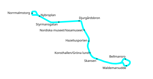
| current | 15:31, 11 June 2007 | | 500 × 258 (44 KB) | commons>Kildor | == Beskrivning == {{Information |Description=Geographically accurate map of Djurgårdslinjen. |Source=Own work |Date=2007-06-11 |Author=Patrik Ekengren (Kildor) |Permission= |other_versions= }} Category:Rail transport in Stockholm [[C |
File usage
There are no pages that use this file.