File:Denmark Capital Region location map (ca).svg
Jump to navigation
Jump to search

Size of this PNG preview of this SVG file: 800 × 526 pixels. Other resolutions: 320 × 210 pixels | 640 × 420 pixels | 1,024 × 673 pixels | 1,280 × 841 pixels | 2,560 × 1,682 pixels | 1,000 × 657 pixels.
Original file (SVG file, nominally 1,000 × 657 pixels, file size: 244 KB)
.svg)
File history
Click on a date/time to view the file as it appeared at that time.
| Date/Time | Thumbnail | Dimensions | User | Comment | |
|---|---|---|---|---|---|
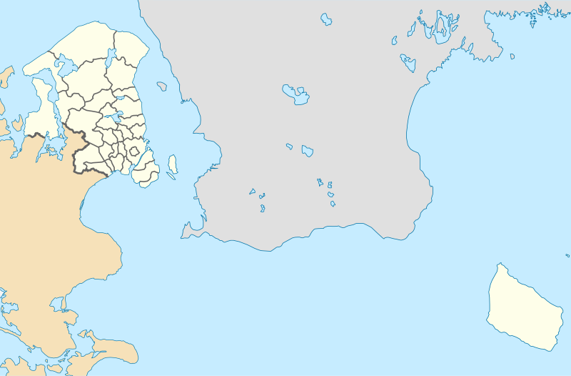
| current | 13:37, 13 January 2010 | | 1,000 × 657 (244 KB) | commons>Erik Frohne | == {{int:filedesc}} == {{Information |Description={{en|1=Location map of the Capital Region in Denmark, color adjusted Equirectangular projection, N/S stretching 177 %. Geographic limits of the map: * N: 56.20° N * S: 54.90° N * W: 11.70° E * E: 15.2 |
File usage
There are no pages that use this file.
.svg)