File:Cyprus relief location map.jpg
Jump to navigation
Jump to search
Size of this preview: 800 × 477 pixels. Other resolutions: 320 × 191 pixels | 640 × 382 pixels | 1,024 × 611 pixels | 1,280 × 763 pixels | 2,126 × 1,268 pixels.
Original file (2,126 × 1,268 pixels, file size: 674 KB, MIME type: image/jpeg)
File history
Click on a date/time to view the file as it appeared at that time.
| Date/Time | Thumbnail | Dimensions | User | Comment | |
|---|---|---|---|---|---|
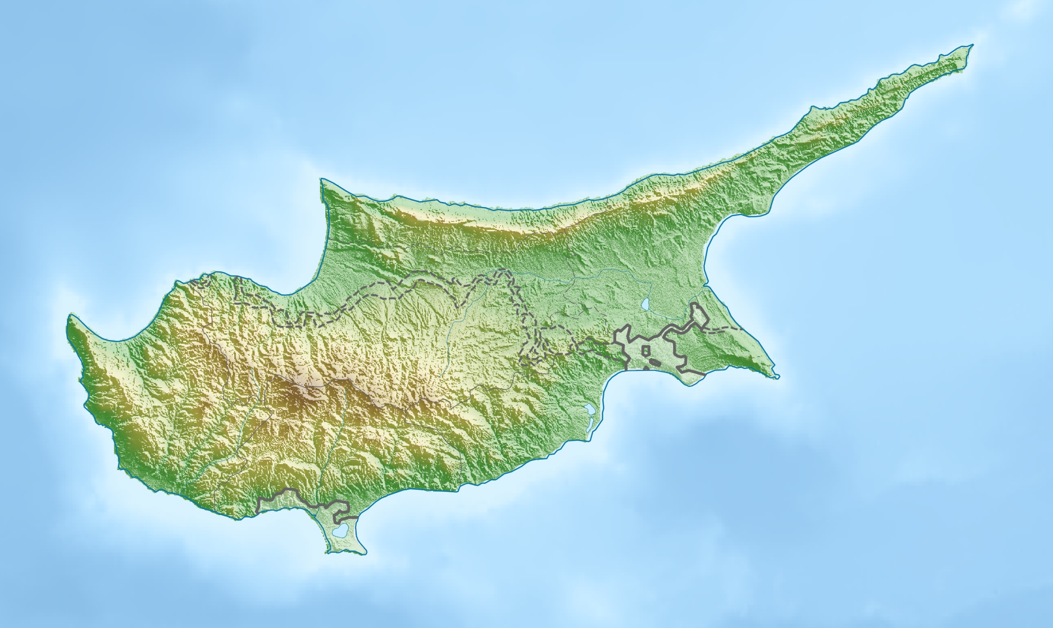
| current | 17:26, 15 March 2010 | | 2,126 × 1,268 (674 KB) | commons>Carport | {{Information |Description={{de|Physische Positionskarte von {{w|Zypern|3=de}}}} Quadratische Plattkarte, N-S-Streckung 115 %. Geographische Begrenzung der Karte: * N: 35.8° N * S: 34.4° N * W: 32.1° O * O: 34.8° O {{en|Physical location map of {{w|Cy |
File usage
There are no pages that use this file.