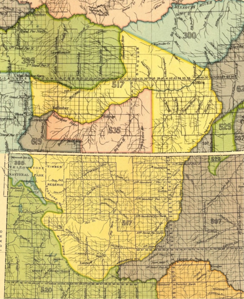
File:Crow Indian territory (area 517, 619 and 635) as described in Fort Laramie treaty (1851), present Montana and Wyoming.png
Jump to navigation
Jump to search

Size of this preview: 489 × 599 pixels. Other resolutions: 196 × 240 pixels | 391 × 480 pixels | 626 × 768 pixels | 835 × 1,024 pixels | 1,470 × 1,802 pixels.
Original file (1,470 × 1,802 pixels, file size: 7 MB, MIME type: image/png)
_as_described_in_Fort_Laramie_treaty_(1851),_present_Montana_and_Wyoming.png)
File history
Click on a date/time to view the file as it appeared at that time.
| Date/Time | Thumbnail | Dimensions | User | Comment | |
|---|---|---|---|---|---|
| current | 09:39, 23 July 2017 | | 1,470 × 1,802 (7 MB) | commons>Naawada2016 | User created page with UploadWizard |
File usage
There are no pages that use this file.
_as_described_in_Fort_Laramie_treaty_(1851),_present_Montana_and_Wyoming.png)