File:CrossHarborRailTunnelMap.png
Jump to navigation
Jump to search
No higher resolution available.
CrossHarborRailTunnelMap.png (415 × 349 pixels, file size: 20 KB, MIME type: image/png)
File history
Click on a date/time to view the file as it appeared at that time.
| Date/Time | Thumbnail | Dimensions | User | Comment | |
|---|---|---|---|---|---|
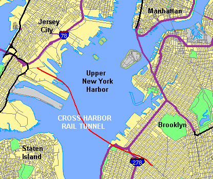
| current | 18:25, 21 May 2006 | | 415 × 349 (20 KB) | commons>Craig Bolon | Map showing Upper New York Harbor obtained from U.S. Census Bureau, with alignment of proposed Cross-Harbor Rail Tunnel shown on map by Cross Harbor Freight Movement Project superimposed and legends added by hand. Mainly work of a U.S. government agency. |
File usage
There are no pages that use this file.