File:Congo Brazzaville Topography.png
Jump to navigation
Jump to search

Size of this preview: 533 × 600 pixels. Other resolutions: 213 × 240 pixels | 427 × 480 pixels | 682 × 768 pixels | 910 × 1,024 pixels | 1,334 × 1,501 pixels.
Original file (1,334 × 1,501 pixels, file size: 3.52 MB, MIME type: image/png)
File history
Click on a date/time to view the file as it appeared at that time.
| Date/Time | Thumbnail | Dimensions | User | Comment | |
|---|---|---|---|---|---|
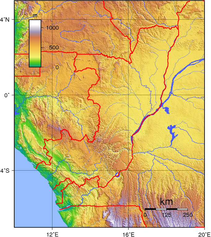
| current | 19:28, 29 June 2007 | | 1,334 × 1,501 (3.52 MB) | commons>Sadalmelik | {{Information |Description=Topographic map of the Republic of the Congo (Brazzaville). Created wth GMT from public domain SRTM data. |Source=self-made |Date=June 29, 2007 |Author= Sadalmelik }} [[Category:Maps of the Republic of the C |
File usage
There are no pages that use this file.