File:CharlestownSC1780.jpg
Jump to navigation
Jump to search

Size of this preview: 800 × 548 pixels. Other resolutions: 320 × 219 pixels | 640 × 438 pixels | 1,024 × 701 pixels | 1,280 × 877 pixels | 1,967 × 1,347 pixels.
Original file (1,967 × 1,347 pixels, file size: 859 KB, MIME type: image/jpeg)
File history
Click on a date/time to view the file as it appeared at that time.
| Date/Time | Thumbnail | Dimensions | User | Comment | |
|---|---|---|---|---|---|
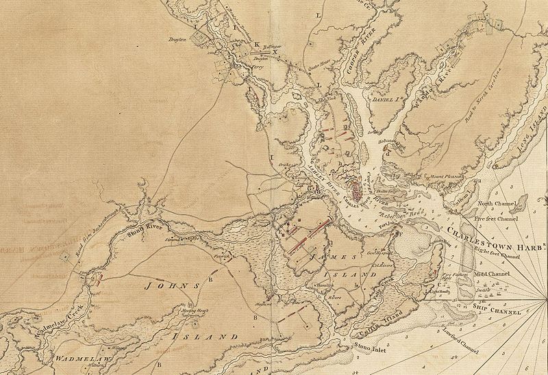
| current | 13:13, 8 June 2009 | | 1,967 × 1,347 (859 KB) | commons>Magicpiano | {{Information |Description={{en|1=This is a detail of the source map, showing the port of Charleston, South Carolina and the coastline to the south as far as Johns Island. It has markings depicting Continental Army defenses set up in anticipation of Brit |
File usage
There are no pages that use this file.