File:Carte des Pyrénées au XVIIeme siècle.jpg
Jump to navigation
Jump to search
Size of this preview: 800 × 515 pixels. Other resolutions: 320 × 206 pixels | 640 × 412 pixels | 1,024 × 659 pixels | 1,280 × 824 pixels | 2,560 × 1,649 pixels | 6,286 × 4,048 pixels.
Original file (6,286 × 4,048 pixels, file size: 10.61 MB, MIME type: image/jpeg)
File history
Click on a date/time to view the file as it appeared at that time.
| Date/Time | Thumbnail | Dimensions | User | Comment | |
|---|---|---|---|---|---|
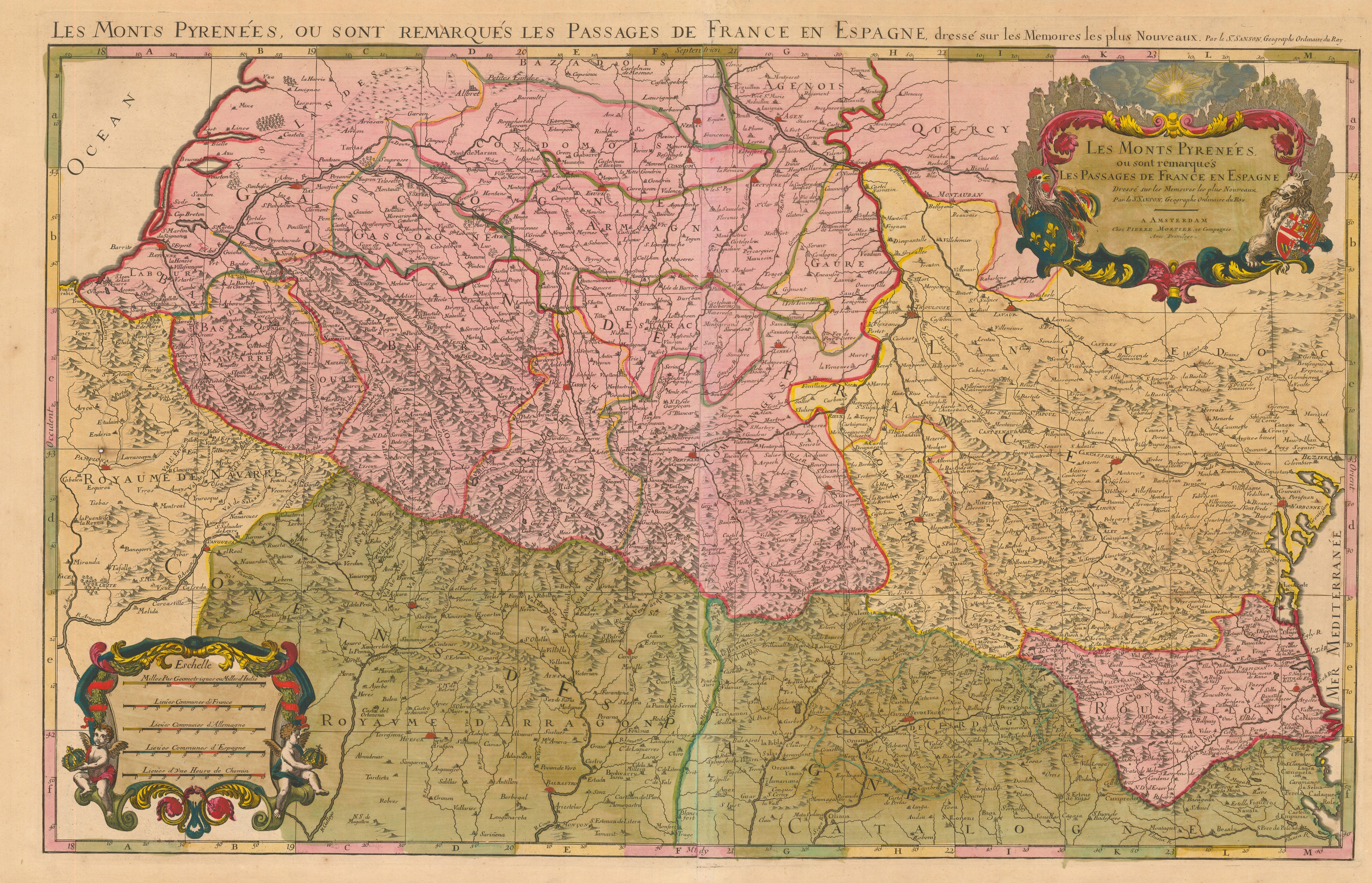
| current | 10:23, 8 October 2008 | | 6,286 × 4,048 (10.61 MB) | commons>Guérin Nicolas | {{Information |Description={{en|1=Pyrenees mountains and international border between France and Spain showing the mountains passes between the two countries. By Nicolas Sanson, geograph of Louis XIII de France and |
File usage
There are no pages that use this file.