File:Canada population per senator map.svg
Jump to navigation
Jump to search

Size of this PNG preview of this SVG file: 619 × 600 pixels. Other resolutions: 248 × 240 pixels | 496 × 480 pixels | 793 × 768 pixels | 1,057 × 1,024 pixels | 2,114 × 2,048 pixels | 1,304 × 1,263 pixels.
Original file (SVG file, nominally 1,304 × 1,263 pixels, file size: 113 KB)
File history
Click on a date/time to view the file as it appeared at that time.
| Date/Time | Thumbnail | Dimensions | User | Comment | |
|---|---|---|---|---|---|
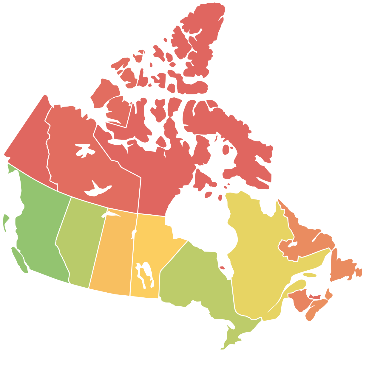
| current | 12:01, 20 May 2019 | | 1,304 × 1,263 (113 KB) | commons>Moritz157 | {{Information |description ={{en|1=A map of Canda with a colored representation of the population per senator in each region. Red=Least Population (=> overrepresented), Yellow=Average, Green=Most Population (=> underrepresented)}} |date =20.05.2019 |source =Based on Numbers from Wikipedia and a blank map of Canada (https://commons.wikimedia.org/wiki/File:Canada_blank_map.svg) |author =Moritz Ahrens, Lokal_Profil, Paul Robinson }} |
File usage
There are no pages that use this file.